Toggle light / dark theme

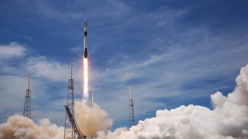
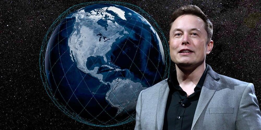
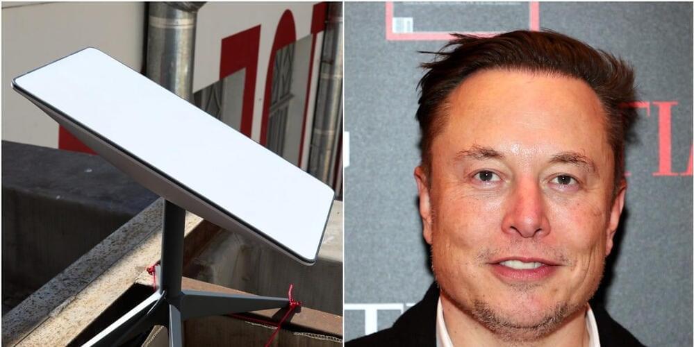
SpaceX’s newest drone ship is on its way out into the Atlantic Ocean for a Starlink mission that will break the company’s record for annual launch cadence.

Somewhat confusing known as Starlink Shell 4 Launch 3 or Starlink 4–3, the batch of 53 laser-linked V1.5 satellites is scheduled to fly before Starlink 4–2 for unknown reasons and at the same time as Starlink 2–3 is scheduled to fly before Starlink 2–2 on the West Coast. Regardless of the seemingly unstable launch order, perhaps related to the recent introduction of Starlink’s new V1.5 satellite design, drone ship A Shortfall of Gravitas’ (ASOG) November 27th Port Canaveral confirms that SpaceX is more or less on track to launch Starlink 4–3 no earlier than (NET) 6:20 pm EST (23:20 UTC) on Wednesday, December 1st.

In a bit of a return to stride after launching 20 times in the first six months but only three times in the entire third quarter of 2021, Starlink 4–3 is currently the first of four or even five SpaceX launches scheduled in the last month of the year. Nevertheless, if Starlink 4–3 is successful, it will also set SpaceX up to cross a milestone unprecedented in the history of satellite launches.

A team of researchers with the Institute for Atmospheric and Climate Science, ETH Zurich, has found evidence that indicates that stands of trees can reduce land surface area temperatures in cities up to 12°C. In their paper published in the journal Nature Communications, the group describes how they analyzed satellite imagery for hundreds of cities across Europe and what they learned.

Prior research has suggested that adding to cities can help reduce high air temperatures during the warm months—cities are typically hotter than surrounding areas due to the huge expanses of asphalt and cement that absorb heat. In this new effort, the researchers looked at possible impacts on land surface areas instead of air temperatures. Such temperatures are not felt as keenly as air temperatures by people in the vicinity because it is below their feet rather than surrounding them.

The work by the team involved analyzing data from satellites equipped with land surface temperature sensors. In all, the researchers poured over data from 293 cities across Europe, comparing land surface temperatures in parts of cities that were covered with trees with similar nearby urban areas that were not covered with trees. For comparison purposes, they did the same for rural settings covered in pastures and farmland.

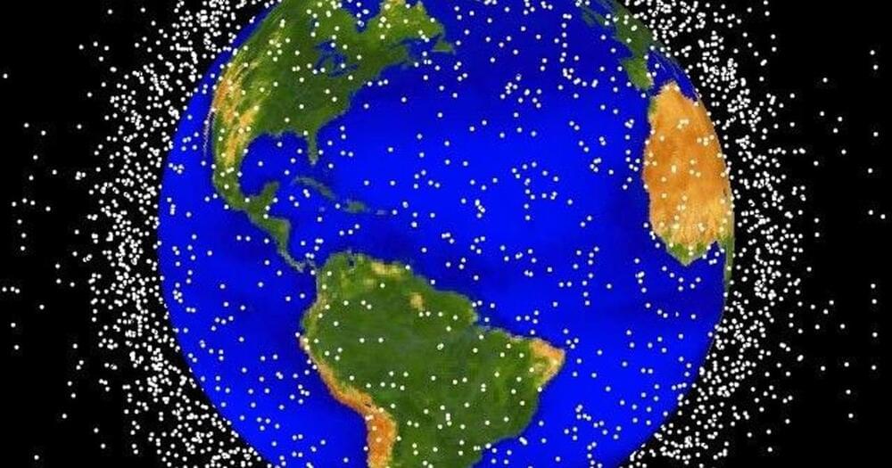
The chance that ESA’s Solar Orbiter spacecraft will encounter space debris during its upcoming Earth flyby is very, very low. However, the risk is not zero and is greater than any other flyby ESA has performed. That there is this risk at all highlights the mess we’ve made of space – and why we need to take action to clean up after ourselves.

On November 27, after a year and eight months flying through the inner Solar System, Solar Orbiter will swing by home to ‘drop off’ some extra energy. This will line the spacecraft up for its next six flybys of Venus.

Venus, the second planet from the sun, is named after the Roman goddess of love and beauty. After the moon, it is the second-brightest natural object in the night sky. Its rotation (243 Earth days) takes longer than its orbit of the Sun (224.7 Earth days). It is sometimes called Earth’s “sister planet” because of their similar composition, size, mass, and proximity to the Sun. It has no natural satellites.

NASA on Tuesday night successfully launched its experimental asteroid deflecting spacecraft which is set to smash into an asteroid at 15,000 miles per hour and serve as a test run for countering any future doomsday scenario where a large space rock could end up on a collision course with the Earth.

KEY FACTS The Double Asteroid Redirection Test (DART), developed by NASA and the European Space Agency (ESA) launched from California’s Vandenberg Space Force Base at around 10.20 a.m. local time Tuesday, aboard SpaceX’s reusable Falcon 9 rocket.

Sometime in 2022, the DART spacecraft is expected to smash into the asteroid Dimorphos which orbits a larger satellite called Didymos—neither of which pose a threat to Earth at the moment—with the hope of deflecting its course.

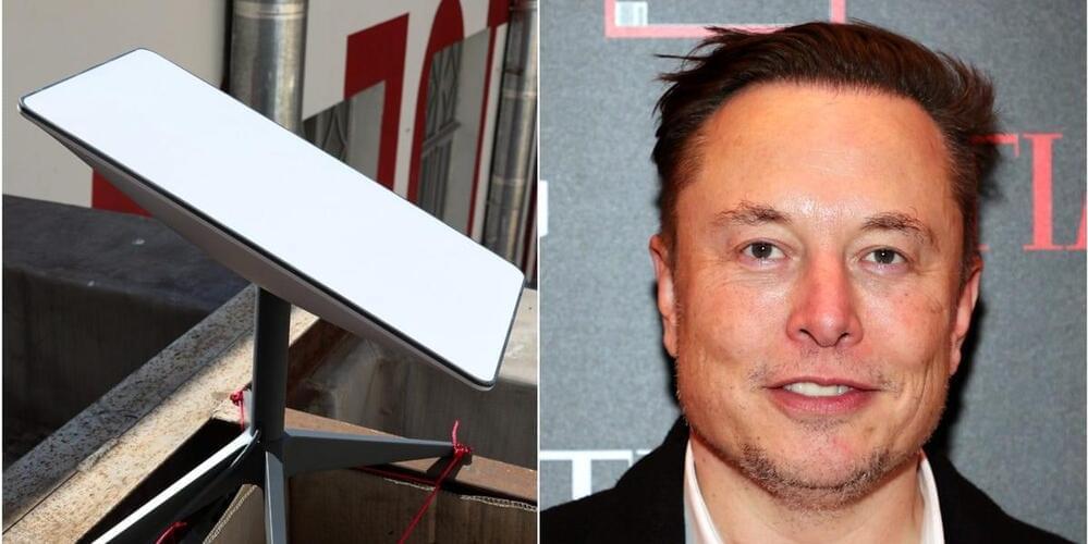
RIO DE JANEIRO, Nov 16 (Reuters) — Elon Musk and Brazilian Communications Minister Fabio Faria met in Austin on Tuesday to discuss a potential partnership that would leverage SpaceX technology to bring Internet to rural schools and cut back on illegal deforestation.

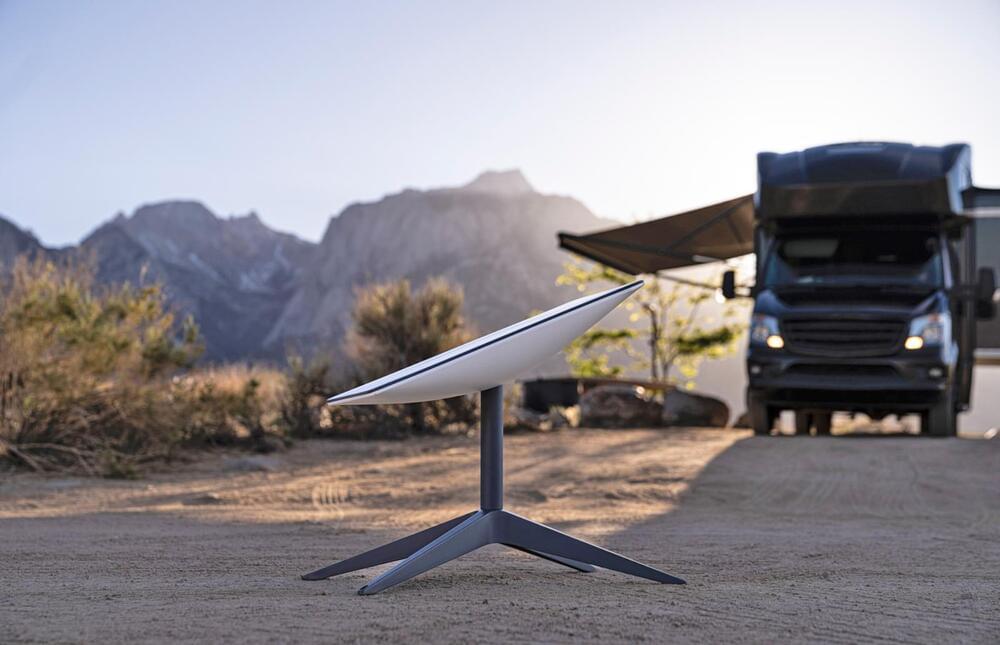
In a statement, the Brazilian government said the two talked about how SpaceX and Starlink, a satellite broadband service offered by the firm, could help monitor the Amazon rainforest for illegal cutting, while also providing Internet connections to remote schools and health centers.

“We’re working to seal this important partnership between the Brazilian government and SpaceX,” Faria said, according to the statement. “Our objective is to bring Internet to rural areas and remote places, in addition to helping control fires and illegal deforestation in the Amazon rainforest.”

The French Armament General Directorate’s (DGA) ‘Capacité de Renseignement Electromagnétique Spatiale/Space-based Signal Intelligence Capability’ satellites have been successfully launched.

An Arianespace Vega rocket lifted off with the satellites from the European spaceport in French Guiana.

Known by the French acronym CERES, the satellites were designed and built by Airbus Defence and Space, and Thales.

For the satellites spinning around Earth, using electricity to ionize and push particles of xenon gets them to go where they need to go. While xenon atoms ionize easily and are heavy enough to build thrust, the gas is rare and expensive, not to mention difficult to store.

Thanks to new research, we could soon have an alternative. Enter iodine.

Full in-orbit operation of a satellite powered by iodine gas has now been carried out by space tech company ThrustMe, and the technology promises to lead to satellite propulsion systems that are more efficient and affordable than ever before.

A new European satellite will use machine learning to provide rapid, low-cost information on soil conditions to enable smarter agriculture. The project is a model for what novel sensors and artificial intelligence technology can do in a vehicle no bigger than a shoebox.

Edge computing is a fashionable buzz-phrase for the technique of shifting the processing power away from the server farms of the internet and out to where the data is being collected. According to some, edge computing is the next great tech revolution, and in the case of satellites, where communications bandwidth is severely limited, it could be transformational.

The Intuition-1 satellite program will provide soil data to drive European precision agriculture projects, which involve applying fertilizer only when and where needed rather than treating an entire field. Precision agriculture is both more economical and easier on the environment — the catch is that it requires detailed information about soil conditions on a small scale. At present, establishing levels of soil nutrients in sufficient detail involves taking samples from multiple locations and sending them to a laboratory for analysis. This typically takes about three weeks.