Toggle light / dark theme

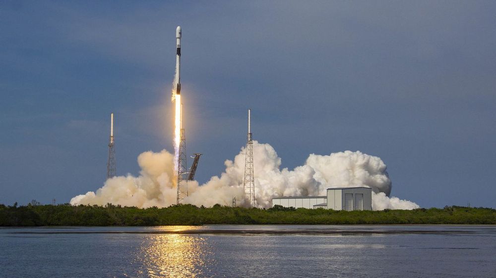
CAPE CANAVERAL, Fla. – If you missed the last few Space Coast launches because they happened late at night or during the workday, this weekend’s SpaceX launch will be a good opportunity to see one.

SpaceX is targeting Saturday morning to launch another round of internet-beaming satellites on a Falcon 9 rocket from Cape Canaveral Air Force Station Launch Complex 40.

The launch window opens at 10:46 a.m. and ends at 11:02 a.m.

The rapidly falling cost of getting into orbit has spurred a boom in the space industry as a host of new applications become economical. Now a secretive startup plans to slash the cost to just $250,000 by flinging rockets into space rather than firing them.

Over the last decade, the pioneering work done by SpaceX has shown that getting stuff into orbit doesn’t need to be so expensive and that there are viable business opportunities to be had in the private space industry. Combined with advances in satellite technology, there’s now a thriving market for small, inexpensive spacecraft in low- E arth orbit doing everything from remote sensing to delivering broadband internet access.

But while costs have fallen dramatically, the cheapest option for reaching low-Earth orbit —a rideshare on SpaceX’s Falcon 9—still starts at $1 million, and launches only happen twice a month at best. California-based startup SpinLaunch says its technology will allow up to five launches a day for as little as $250,000.

WASHINGTON — Spaceflight Industries announced Feb. 11 it will sell its smallsat rideshare launch business to a pair of Japanese companies, allowing it to focus on its BlackSky geospatial business.

Spaceflight Industries said that Mitsui & Co., Ltd. and Yamasa Co., Ltd. will acquire its rideshare business, known as Spaceflight, Inc., for an undisclosed sum. Mitsui & Co. and Yamasa will own Spaceflight as a 50/50 joint venture. The companies said that they expect the deal to close in the second quarter of this year, after a review by the Committee on Foreign Investment in the United States (CFIUS) to examine any national security implications of the sale.

Spaceflight Industries said it will use the proceeds from the deal to accelerate the growth of BlackSky, its geospatial intelligence business that is developing a constellation of high-resolution imaging satellites. BlackSky has four satellites in orbit currently with another eight scheduled for launch this year.

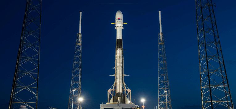
WASHINGTON — The third satellite of the GPS 3 constellation arrived Feb. 5 at Cape Canaveral Space Force Station, Florida, where it will undergo final testing and checkout before its scheduled launch in April aboard a SpaceX Falcon 9 rocket.

The GPS 3 satellite was flown from Lockheed Martin’s assembly line in Colorado aboard a U.S. Air Force C-17 cargo aircraft.

In a news release on Friday, the U.S. Space Force Space and Missile Systems Center said the next steps are to prepare the GPS 3 SV-3 for propellant loading and fairing encapsulation before it’s horizontally integrated with a Falcon 9 launch vehicle.

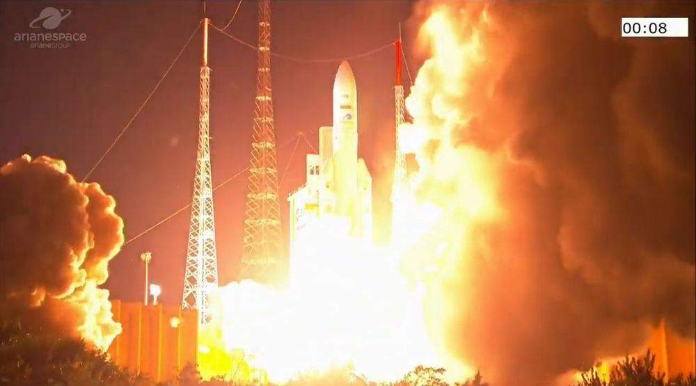
Making its first flight in over a year, Mitsubishi Heavy Industries’ H-IIA rocket lifted off from the Tanegashima Space Centre on Sunday with a reconnaissance satellite for the Japanese government. Liftoff occurred at10:34 local time 01:34 UTC, during a five-minute launch window.

Sunday’s launch deployed the IGS Optical 7 satellite for the Cabinet Satellite Intelligence Centre, an agency of the Japanese government responsible for space-based surveillance. IGS Optical 7 is part of the Information Gathering Satellite (IGS) or Joho Shushu Eisei (JSE) system, consisting of spacecraft collecting optical and radar images of the Earth.

Japan began development of IGS in the late 1990s, following North Korea’s attempted satellite launch in 1998. Although the North Korean launch failed to reach orbit, the rocket carrying it crossed Japan during its ascent, sparking fears that North Korean missiles would be able to target the islands. With IGS, Japan aimed to develop an independent reconnaissance capability to monitor future threats. The constellation can also be used for disaster monitoring and other civilian applications by the Japanese government.

There are many satellites in space and we know which launch put most of them up there. But there are a number of them that are not associated with a specific launch, though it would be desirable to identify which put them into orbit. This article is about a technique which could help associate objects in space with particular launches, one that I am currently developing. But let’s start with some background information: what do we know about most satellites?

First, there are several catalogs of satellites. These are lists of satellites and information about them, and are maintained by different organizations. What are these catalogs? I have written a couple of articles that have appeared here that give some background, such as one about overlooked satellites (see “Acknowledging some overlooked satellites”, The Space Review, June 12, 2017), while another discusses why some satellites are in some catalogs and not others (see “Time for common sense with the satellite catalog”, The Space Review, April 10, 2017).

The US Air Force maintains the default world official satellite catalog and assigns official satellite numbers and “international designators,” which state what launch each object is associated with. The Air Force gets observations from many sites, radar and optical, around the world and uses them to generate and maintain orbital parameters for satellites. That is how they know which object is from which launch. That international designator is very important when a satellite reenters: the country that owns a satellite that reenters is responsible for any damage caused when it impacts the ground. Also, for satellite collisions, the country that owns a satellite that “causes” a collision is responsible for damage.

WASHINGTON — Maxar Technologies says the geostationary satellite order it disclosed in November without naming the customer is a high-throughput Intelsat spacecraft that will also carry a pollution sensor for NASA.

Intelsat announced Feb. 3 that it had selected Maxar to build Intelsat-40e, a satellite that will provide high-throughput coverage of North America and Central America.

Intelsat-40e will also carry NASA’s Tropospheric Emissions: Monitoring of Pollution (TEMPO) hosted payload under a NASA contract with Maxar.