To try everything Brilliant has to offer—free—for a full 30 days, visit http://brilliant.org/ArtemKirsanov/
The first 200 of you will get 20% off Brilliant’s annual premium subscription.
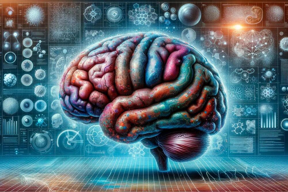
My name is Artem, I’m a computational neuroscience student and researcher. In this video we discuss engrams – fundamental units of memory in the brain. We explore what engrams are, how memory is allocated, where it is stored, and how different memories become linked with each other.
Patreon: https://www.patreon.com/artemkirsanov.
Twitter: https://twitter.com/ArtemKRSV
OUTLINE:
00:00 — Introduction.
00:39 — Historical background.
01:44 — Fear conditioning paradigm.
03:38 — Immediate-early genes as memory markers.
08:13 — Engrams are necessary and sufficient for recall.
10:16 — Excitabiliy and memory allocation.
16:19 — Brain-wide engrams.
18:12 — Linking memories together.
24:20 — Summary.
25:33 — Brilliant.
27:09 — Outro.
REFERENCES (in no particular order):
1. Robins, S. The 21st century engram. WIRES Cognitive Science e1653 (2023) doi:10.1002/wcs.1653.
2. Roy, D. S. et al. Brain-wide mapping reveals that engrams for a single memory are distributed across multiple brain regions. Nat Commun 13, 1799 (2022).
3. Josselyn, S. A. & Tonegawa, S. Memory engrams: Recalling the past and imagining the future. Science 367, eaaw4325 (2020).
4. Chen, L. et al. The role of intrinsic excitability in the evolution of memory: Significance in memory allocation, consolidation, and updating. Neurobiology of Learning and Memory 173, 107266 (2020).
5. Rao-Ruiz, P., Yu, J., Yu, J. J., Kushner, S. A. & Josselyn, S. A. Neuronal competition: microcircuit mechanisms define the sparsity of the engram. Current Opinion in Neurobiology 54163–170 (2019).
6. Josselyn, S. A. & Frankland, P. W. Memory Allocation: Mechanisms and Function. Annu. Rev. Neurosci. 41389–413 (2018).
7. Choi, J.-H. et al. Interregional synaptic maps among engram cells underlie memory formation. Science 360430–435 (2018).
8. Abdou, K. et al. Synapse-specific representation of the identity of overlapping memory engrams. Science 360, 1227–1231 (2018).
9. Yokose, J. et al. Overlapping memory trace indispensable for linking, but not recalling, individual memories. Science 355398–403 (2017).
10. Rashid, A. J. et al. Competition between engrams influences fear memory formation and recall. Science 353383–387 (2016).
11. Poo, M. et al. What is memory? The present state of the engram. BMC Biol 14, 40 (2016).
12. Park, S. et al. Neuronal Allocation to a Hippocampal Engram. Neuropsychopharmacol 41, 2987–2993 (2016).
13. Morrison, D. J. et al. Parvalbumin interneurons constrain the size of the lateral amygdala engram. Neurobiology of Learning and Memory 135, 91–99 (2016).
14. Minatohara, K., Akiyoshi, M. & Okuno, H. Role of Immediate-Early Genes in Synaptic Plasticity and Neuronal Ensembles Underlying the Memory Trace. Front. Mol. Neurosci. 8, (2016).
15. Josselyn, S. A., Köhler, S. & Frankland, P. W. Finding the engram. Nat Rev Neurosci 16521–534 (2015).
16. Yiu, A. P. et al. Neurons Are Recruited to a Memory Trace Based on Relative Neuronal Excitability Immediately before Training. Neuron 83722–735 (2014).
17. Redondo, R. L. et al. Bidirectional switch of the valence associated with a hippocampal contextual memory engram. Nature 513426–430 (2014).
18. Ramirez, S. et al. Creating a False Memory in the Hippocampus. Science 341387–391 (2013).
19. Liu, X. et al. Optogenetic stimulation of a hippocampal engram activates fear memory recall. Nature 484381–385 (2012).
20. Silva, A. J., Zhou, Y., Rogerson, T., Shobe, J. & Balaji, J. Molecular and Cellular Approaches to Memory Allocation in Neural Circuits. Science 326391–395 (2009).
CREDITS:
