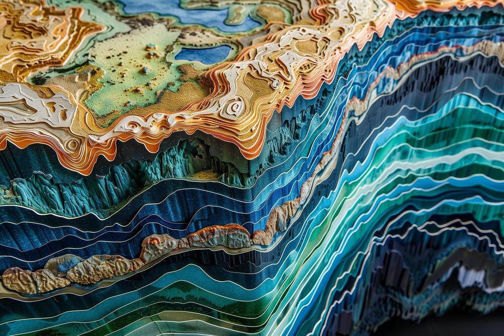
A new computational technique developed enables the use of surface mapping technologies like GPS to analyze subsurface geological structures.
This method, termed deformation imaging, offers insights into the rigidity of the Earth’s crust and mantle, enhancing our understanding of geological processes like earthquakes. The technique has already provided a detailed view of subsurface areas during the 2011 Tohoku earthquake and has the potential for widespread future applications with satellite data.
New Geological Imaging Technique
